Daily activity: Tough week due to the storm and dirty water
Thursday 23rd. water temp 82.9 S 1013mph in the a.m. / 85.5 SW 6-10mph. The water was nasty from the outer sandbar to the beach. The end was improved but still very silty. I only saw one small Shark caught.
Friday: water temp 84.7 NNE 5-7mph in the a.m. / 87.8 WSW 10-13mph in the p.m. The water was still silty. There were Ladyfish, one small Shark, Remora and one very small Spanish Mackerel. There were a few small Hardtails for live bait.
Saturday: water temp 83.8 N 4-8mph in the a.m. / 86.7 W 13-15mph in the p.m. The water was still dirty. Fishing was slow with only the expected trash fish due to the dirty water.
Sunday: water temp 84.6 NW 9-12mph in the a.m. / 84.7 WSW 2-7mph wind in the p.m. The water was very silty at the end, and the shallows were very dirty. A few Ladyfish, Hardtails, Yellowtail Jacks and small Sharks were caught.
Monday: water temp 83.7 NNE 7-12mph in the a.m. / 85.6 W wind 12-15mph in the p.m.. The water was filthy. There were Moon pies and a few baba Bonita caught on Sabiki rigs. Lots of small Sharks were the catches of the day.
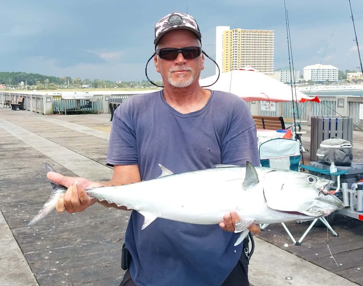
Tuesday: water temp 83.1 ENE 9-15mph in the a.m. / 85.1 10-11mph in the p.m.. The water was still dirty. There were Spanish Mackerel, Bonita, some Sharks and other common trash fish caught.
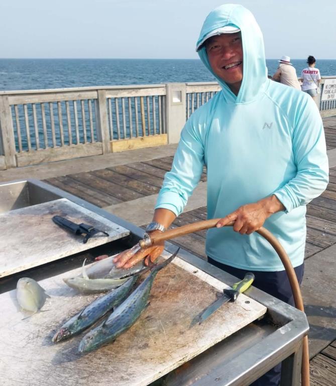
Wednesday 22nd. water temp 84.0 NW 7-10mph in the a.m./ 86.7 WSW 15-17mph in the p.m. The water was very silty of the end but still very dirty in the shallows. There were three Pompano, a few Spanish Mackerel, A Bluefish, baby Sharks and other trash fish caught. Keith got the Bonita. Hai got one of the Pompano and a couple of Spanish. There was an occasional Cigar minnow caught, a couple of Threadfin Herring and some Moon Pies for live bait.
Red Tide status: In Northwest Florida over the past week, K. brevis was not observed.
Tides for the upcoming week:
Full Moon Wednesday July 29, 2026 - New Moon Wednesday Aug. 12, 2026
Sunrise: 6:00am Sunset: 7:37pm
Thursday 30th. 8:53pm Low 0.2 11:02am High 1.7
Friday 8:53pm Low 0.3 11:40am High 1.6
Saturday 8:49pm Low 0.5 12:20pm High 1.4
Sunday 5:51am Low 0.8 3:27am High 0.9
8:19pm Low 0.7 1:03pm High 1.2
Monday 8:29am Low 0.8 3:10am High 1.0
7:16pm Low 0.8 1:52pm High 1.0
Tuesday 11:22am Low 0.7 2:44am High 1.2
Wednesday 05th. 3:08pm Low 0.4 2:47am High 1.5
Sunrise: 6:04am Sunset: 7:32pm CST
The Marine forecast for the next several days is:
THURSDAY NIGHT
West winds 10 to 15 knots. Seas 2 to 3 feet. Wave Detail: West 3 feet at 5 seconds. Protected waters a moderate chop. A chance of showers and thunderstorms.
FRIDAY
West winds 10 to 15 knots, increasing to 15 to 20 knots in the afternoon. Seas 2 to 3 feet. Wave Detail: West 3 feet at 5 seconds. Protected waters choppy. Showers with a chance of thunderstorms.
FRIDAY NIGHT
West winds 15 to 20 knots, diminishing to 10 to 15 knots after midnight. Seas 3 to 4 feet. Wave Detail: West 3 feet at 5 seconds. Protected waters choppy. A chance of showers and thunderstorms in the evening, then showers likely with a slight chance of thunderstorms after midnight.
SATURDAY
West winds 15 to 20 knots. Seas 3 to 4 feet. Protected waters choppy. Showers with thunderstorms likely.
SATURDAY NIGHT
Southwest winds 15 to 20 knots. Seas 3 to 4 feet. Protected waters choppy. Showers and thunderstorms likely.
SUNDAY
Southwest winds 15 to 20 knots, increasing to 20 to 25 knots in the afternoon. Seas 3 to 5 feet, occasionally to 6 feet. Protected waters rough. Showers with thunderstorms likely.
SUNDAY NIGHT
Southwest winds 15 to 20 knots. Seas 3 to 5 feet, occasionally to 6 feet. Protected waters choppy. Showers. Thunderstorms likely, mainly in the evening.
(local forecast).
THURSDAY (88/80 rain 37% wind W-10-15 in am / W 5-10 in pm)
FRIDAY (87/79 rain 46% wind W-10-20 in am / W 10-15 in pm)
SATURDAY (84/79 rain 78% wind WSW 10-20 in am /WSW 10-15 in pm)
SUNDAY (83/78 rain 91% wind WSW-10-20 in am / SW 10-15 in pm)
MONDAY (84/79 rain 83% wind SW-10-15 in am / W 5-10 in pm)
TUESDAY (86/79 rain 54% wind SW-10-15 in am / SW 5-10 in pm)
WEDNESDAY(87/78 rain 39% wind SSW-5-10 in am / Light & Variable in pm)
PIER MANAGEMENT CONTACT INFORMATION:
Bay County Parks and Recreation – 5304 Majetti Tower Road Panama City, FL 32404
850-248-8730
Vince Martin – Bay Co. Parks Division Manager - vmartin@baycountyfl.gov - 850-896-6580
Timothy Pentice- Bay Co. Asst. Div. Mgr. – tprentice@baycountyfl.gov – 448-217-4219
Tight lines and screaming drags,
Sam
SLP053@BELLSOUTH.NET
770-265-2879