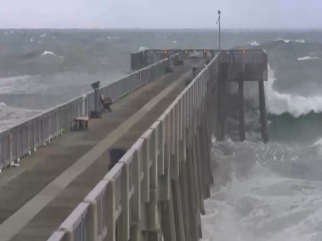
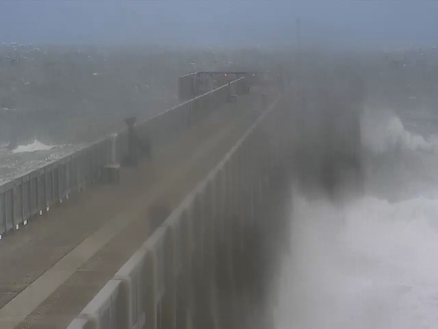
The water started good and was then blown out over the weekend. A front moved in bringing high winds, rain and cooler air. Saturday morning we had sustained 30 knot West wind with a recorded gust over 50. The waves and surf were like we were in a hurricane. Check the two pictures of the conditions at the pier: first one at 09:00 am and the second at 1:35pm.Winds had subsided by Monday but the water was chocolate milk. Thursday, Friday, early morning Saturday and today (Wednesday) were our only fishable days.
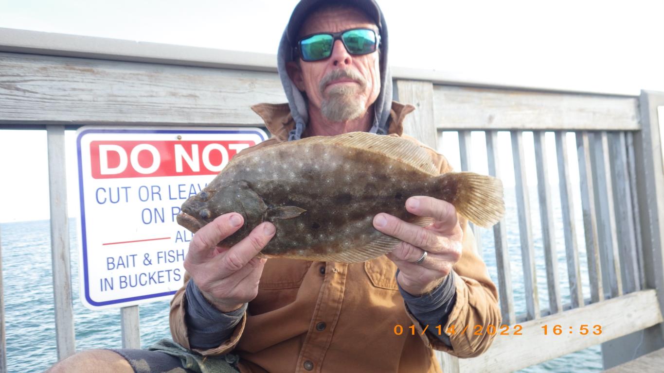
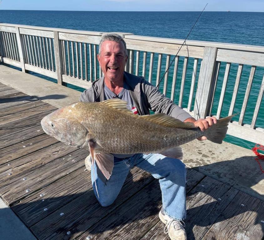
Friday and Saturday morning were slow but a couple of fish were decked. Managed to catch a 14.5” Flounder Friday on a Bull minnow. Saturday morning, Casey got a nice Black Drum. Then the weather turned ugly and we were shut down.
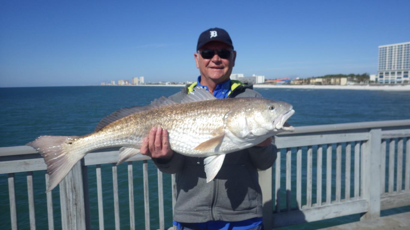
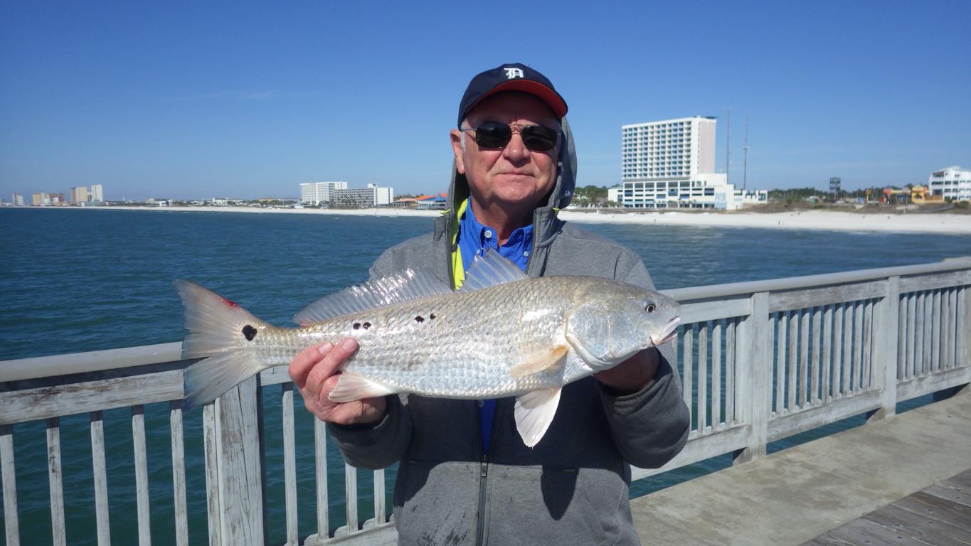
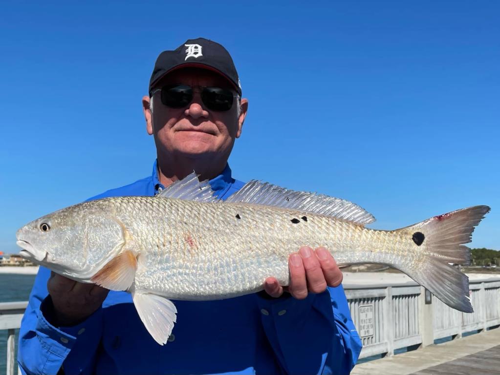
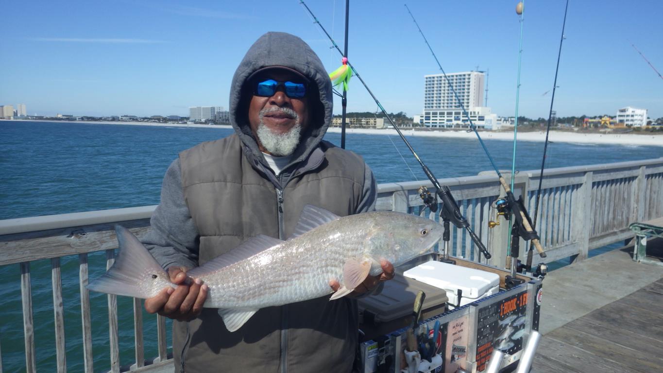
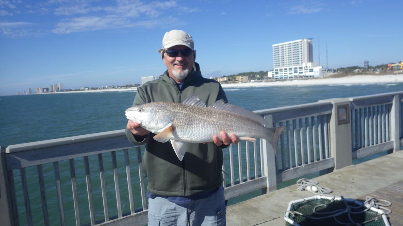
Today, Wednesday, the Red Drum were active. Fresh Shrimp, Bull minnow and Fish Bites were their choices to eat. Six Reds hit the deck with a couple more breaking off. Dave got a back to back hook-up. He had just battled a 38” Bull and was netting it when his other reel began to sing. Casey held on to his rig until he could return the big fish. Dave’s second Red was in the slot. This would be his first and second ever from the pier. Steve hooked up in the skinny water and decked a 30” Red. Robert got a heartbreaker with a 28” that had to go back. Another 28” Red came over the rail but I failed to get the angler’s name. It would be his first fish from the pier. Early afternoon the wind began to pick up and the bite quit.
https://tides4fishing.com/us/florida-west-coast/panama-cityngin g
New Moon Monday Jan. 31, 2022 Full Moon Wednesday Feb. 16, 2022
Tides for the upcoming week:
Sunrise: 6:38am Sunset: 5:09pm
Thursday 20th. 8:37am Low -0.6 10:58pm High 1.0
Friday 8:47am Low -0.5 11:32pm High 0.8
Saturday 8:52am Low -0.3
Sunday 8:35am Low -0.1 12:02am High 0.5
9:23pm Low 0.2 9:23pm High 0.2
Monday 7:35am Low 0.0 12:18pm High 0.3
3:41am High 0.5
Tuesday 3.11am Low -0.1 3:27pm High 0.7
Wednesday 26th. 3:20am Low -0.4 3:58pm High 0.9
Sunrise:6:36am Sunset: 5:14pm CST
Water temp/wind 62.1 - 59.0 – 60.6
Our water temperature began at 62.1 and dropped to 59.0 after the weekend storm. Today we only increased to 60.6 which will drop again as this next cold front comes in tomorrow.
The Marine forecast for the next several days is:
THURSDAY
South winds 10 to 15 knots, shifting north 15 to 20
knots in the afternoon. Seas 2 to 3 feet. Dominant period 4
seconds. Protected waters a moderate chop. Chance of rain showers
in the morning, then showers likely and slight chance of
thunderstorms in the afternoon.
THURSDAY NIGHT
North winds 15 to 20 knots. Seas 3 to 5 feet
with occasional seas up to 6 feet. Dominant period 4 seconds.
Protected waters choppy. Chance of showers.
FRIDAY
North winds 15 to 20 knots, increasing to near 20
knots late. Seas 3 to 5 feet with occasional seas up to 6 feet.
Dominant period 5 seconds. Protected waters choppy. Chance of rain
in the morning, then rain likely in the afternoon.
FRIDAY NIGHT
Northeast winds 20 to 25 knots. Seas 3 to 5 feet
with occasional seas up to 6 feet. Dominant period 4 seconds.
Protected waters choppy. Chance of rain.
SATURDAY
Northeast winds 20 knots. Seas 3 to 5 feet with
occasional seas up to 6 feet. Dominant period 4 seconds.
Protected waters choppy. Chance of rain in the morning, then
slight chance of rain in the afternoon.
SATURDAY NIGHT
North winds 15 to 20 knots. Seas 3 to 5 feet
with occasional seas up to 6 feet. Dominant period 4 seconds.
Protected waters choppy.
SUNDAY
North winds 15 knots. Seas 2 to 3 feet. Dominant
period 4 seconds. Protected waters a moderate chop.
SUNDAY NIGHT
North winds 15 knots. Seas 2 to 3 feet.
Dominant period 4 seconds. Protected waters a moderate chop.
MONDAY
Northeast winds 10 to 15 knots becoming east 10 to
15 knots late in the afternoon. Seas 2 to 3 feet. Protected
waters a light chop.
(local forecast)
THURSDAY (67/40 rain 74% wind SW-13)
FRIDAY (47/38 rain 51% wind N-13)
SATURDAY (50/32 rain 24% wind NNE-13)
SUNDAY (53/36 rain 05% wind NNW-08)
MONDAY (56/48 rain 10% wind SE-05)
TUESDAY (62/40 rain 74% wind SSE-16)
WEDNESDAY(53/34 rain 19% wind N-13)
PIER MANAGEMENT CONTACT INFORMATION:
Bay County Parks and Recreation – 5304 Majetti Tower Road Panama City, FL 32404
850-248-8730
Travis Barbee – Bay Co. Parks Division Manager – tbarbee@baycountyfl.gov – 850-381-8155
James Beattie – Bay Co. Beach Operations Manager - jbeattie@baycountyfl.gov - 850-814-3771
HAPPY NEW YEAR!
Tight lines and screaming drags,
Sam